city groundwater flooding, sidewalk art, topographical history
~ Raquel Ganino
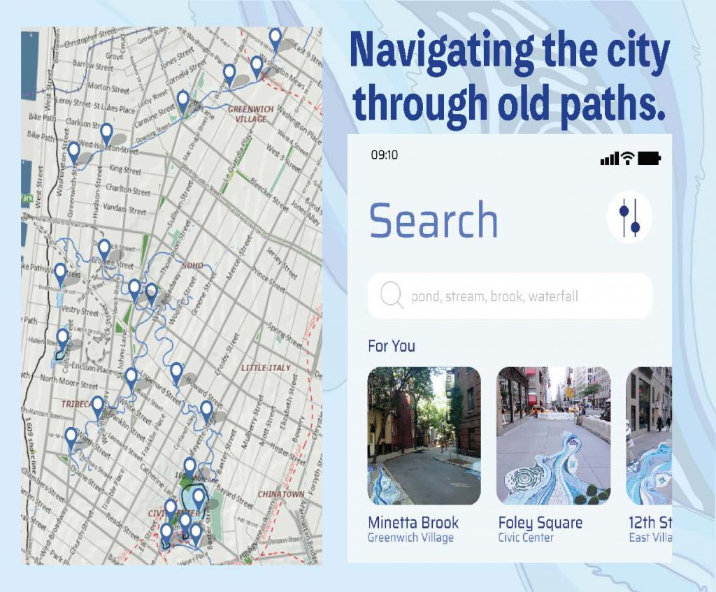
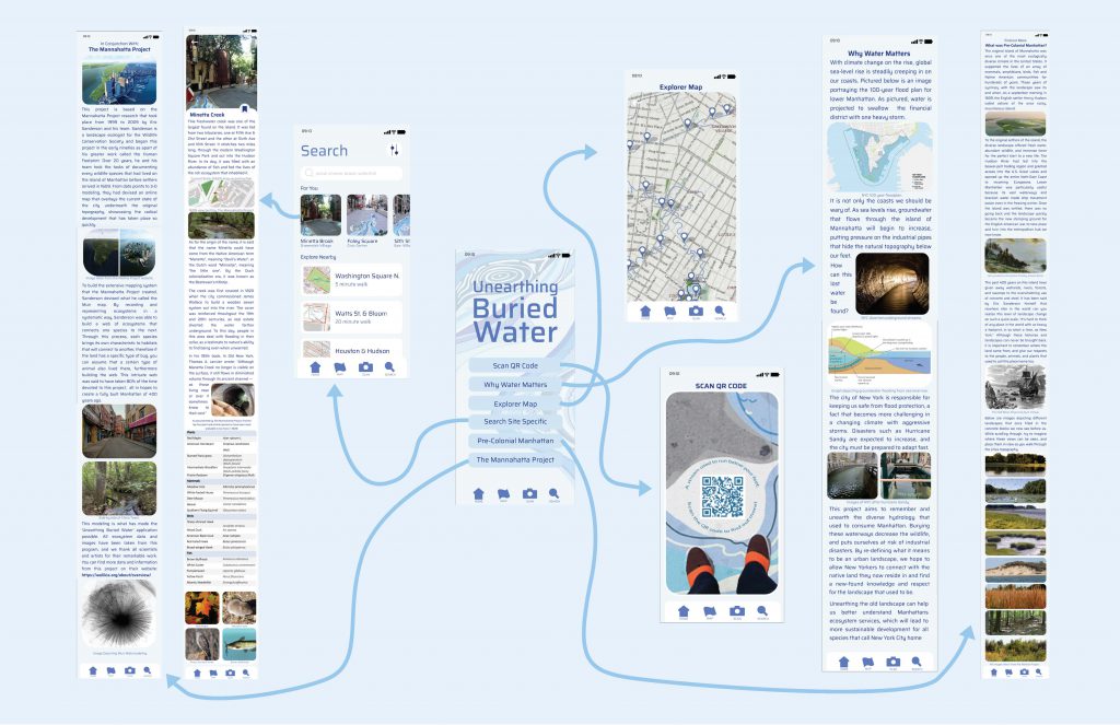
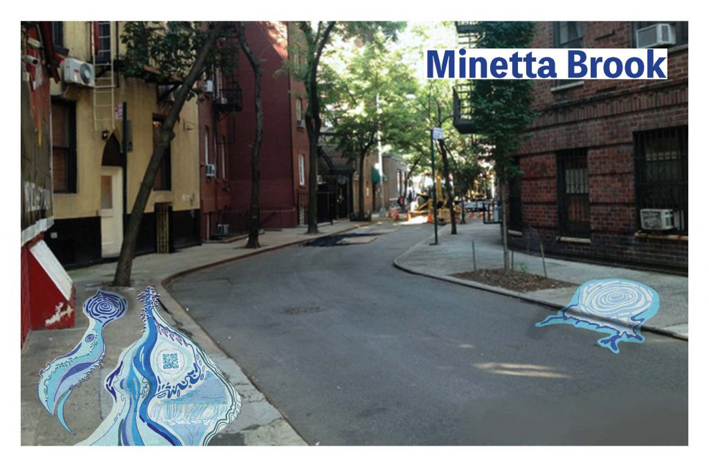
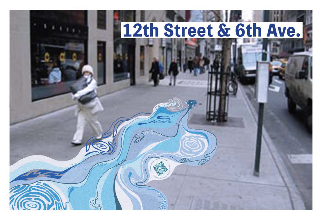
With climate change causing sea level rise, the concern for groundwater flooding has prompted me to design an interactive map and sidewalk painting series that highlights the hidden hydrology of New York City, in hopes that knowledge will prompt sustainable urban development. You can interact with the app itself by checking out here.
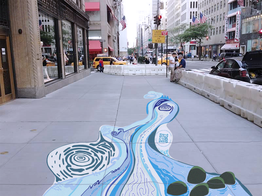
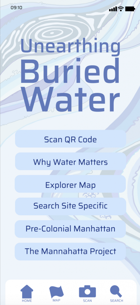
This project was created out of a hope for increasing knowledge and respect for land histories throughout New York City. A changing climate requires a change in attitude and goals for society as a whole. That comes from education. Putting these histories at the forefront of everyone’s lives (on the sidewalk) invites people to rethink the city they call home and imagine it as more than a concrete grid, but a diverse ecological landscape. The eye-catching sidewalk paintings are meant to catch people’s attention, but the interactive app is meant to keep people engaged with the world around them and continue to ask questions about why we build things the way we do in urban societies.
Water and climate change go hand-in-hand. To adapt our cities for tomorrow, we need to renew the regenerative ecosystem services of old topographies and use bio-mimicry to build more sustainable cities. I want to ask, can this buried water be unearthed? Can we reinstall these ecological functions for a city of tomorrow? I hope that by increasing public knowledge, topics of climate and green design will be on the table for discussion and on top of ballots for the future.
Bio – Raquel Ganino
Raquel is a senior at New York University Gallatin studying landscape design and sustainable agriculture. She works to combine indigenous land practices with forward-facing agricultural technology to create a greener, more equal food system.